Four services that work together.
Built to work together so you can book a single capture and walk away with everything you need, whether you are marketing a property, documenting a site, or briefing a response team.
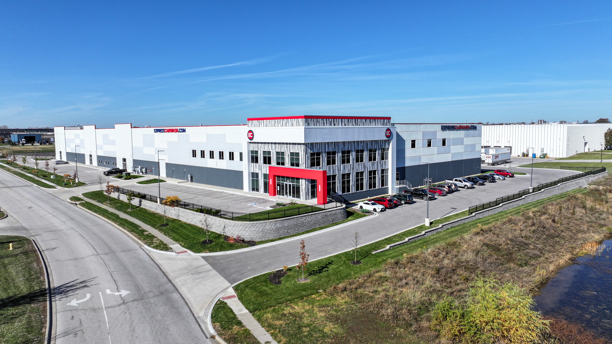
Aerial that shows the whole story.
Site context, roof and structural condition, access, and layout, the angles only aerial can show. Professional aerial photography and video, captured by an FAA-licensed pilot and edited to match the rest of your delivery, for property, commercial, and large-site work alike.
- Hand-edited stills, web- and print-ready sizes
- 60–90 second cinematic video, 4K and social cuts
- FAA Part 107 licensed, fully insured
- 3–5 day turnaround standard, rush available

Walkthroughs that pre-qualify every visitor.
Buyers, tenants, contractors, inspectors, anyone evaluating a space can explore it anytime, from anywhere. Visitors show up already knowing the layout, which means more qualified visits, fewer wasted ones, and faster decisions across property, facilities, and field operations.
- Full Matterport scan with dollhouse + floor plan views
- Embeddable in MLS, CoStar, your CMS, or any web page
- Accurate square footage and measurements
- Hosted for the life of the project

CAD, floor plans, point clouds, everything technical.
Every Matterport scan can output a full set of technical deliverables: scaled floor plans, CAD files, point cloud data, and BIM-ready exports. Useful for renovations, facility planning, insurance documentation, and handing a site off to architects or contractors.
- Scaled 2D floor plans (PDF + DWG, with measurements)
- CAD files (.dwg), drop into AutoCAD or Revit
- Point cloud exports (.e57 / .xyz) for survey-grade workflows
- OBJ / GLB models for renderings and reality capture

Custom work for public sector and enterprise.
Beyond standard listings, we partner with emergency management agencies, federal teams, and enterprise clients on bespoke projects. Insurance documentation, infrastructure inspection, disaster response, and large-scope SOW work built around your timeline and compliance needs.
- Emergency management and disaster response documentation
- Federal, state, and municipal agency partnerships
- Infrastructure inspection: bridges, towers, roofs, solar
- Custom SOW pricing, NDAs, and compliance documentation
Bundle the toolkit. Capture once, ship everywhere.
One shoot, one delivery, one invoice. Custom packages are quoted to the scope, talk to us about your project or program.